
Drone altitude. Cabinet depth. One certified report.
Level 2 and 3 certified handheld inspections combined with drone thermal mapping — detecting thermal gradients in power systems, industrial plants, and commercial buildings before failure writes the report for you.

Drone + ground coverage. The full picture.
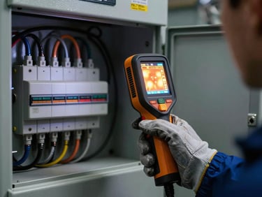
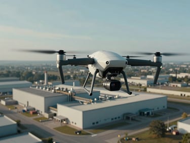
Handheld Level 2 and 3 imagers reach inside switchgear and mechanical assemblies. Drones map rooftops, solar arrays, and large infrastructure inaccessible by foot. Custom monitoring applications cover the intervals between inspections.
Electrical & Mechanical Imaging
Drone Thermal Inspections
Building Diagnostics
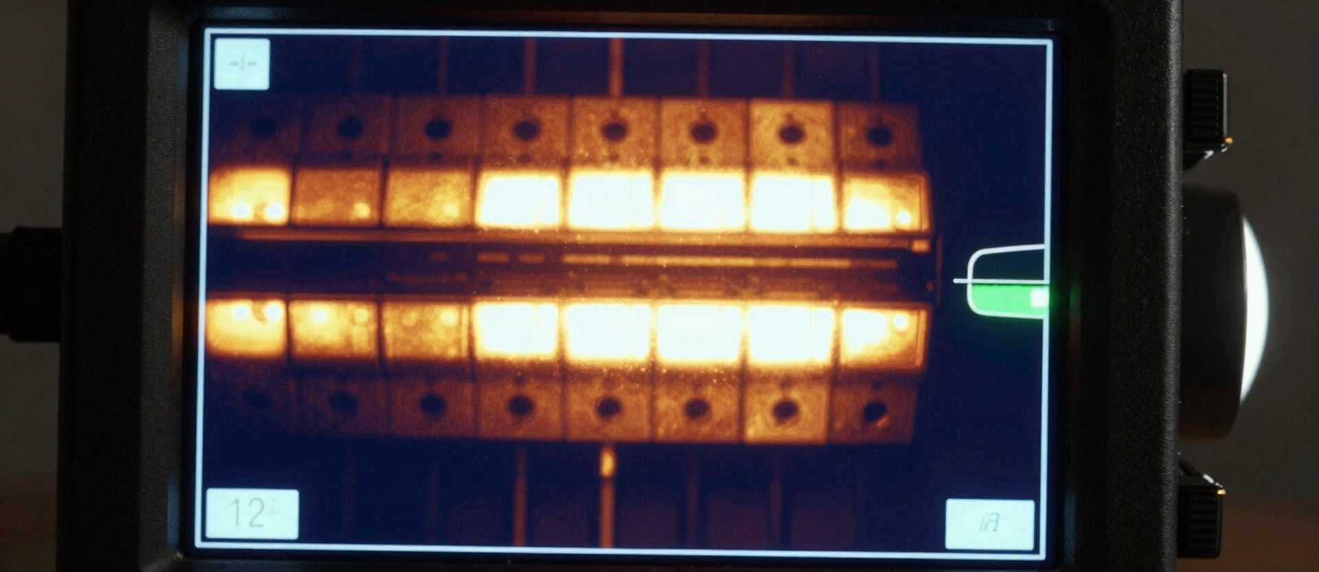
Level 2 and 3 certified handheld inspections across high-voltage to low-voltage power systems and rotating industrial equipment. Hard evidence in the report, referenced to standard.
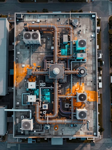
Aerial thermal mapping of rooftops, solar installations, and large-scale infrastructure. Coverage where handheld imagers cannot reach, georeferenced and logged in the same report.
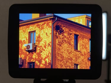
Envelope integrity, HVAC performance, and moisture-ingress surveys for commercial facilities. Infrared data referenced to building standards — not a visual impression, a measured finding.
Certified at Level 2 and 3. Measured, not assumed.
Every thermal anomaly in our reports is tied to a specific certification level, instrument calibration record, and applicable standard. If we cannot quantify it, we do not report it.
Level 2 & 3 Certified
Drone + Ground Coverage
Custom Monitoring Applications
Handheld inspections conducted and signed off by thermographers holding Level 2 and Level 3 infrared certification — the qualification that determines what you can legitimately claim in a report.
Aerial thermal mapping and handheld Level 2/3 surveys operate as a single coordinated scope — not two separate vendors — so the complete thermal picture lands in one coherent report.
We develop customer-specific infrared monitoring systems for assets that cannot wait for scheduled visits — closing the interval between inspections with continuous thermal data.
Infrared doesn't lie. Neither does the report.
Schedule a Level 2 or 3 certified inspection — handheld, drone, or both. Island-wide coverage across industrial and commercial sites in Sri Lanka.